
More than two years after road access and electrical power to the Mauna Loa Observatory was cut off by lava flows, NOAA staff continue to make critical measurements of the atmosphere and other environmental variables at the remote site.
In 2023, observatory staff installed solar panels at the site and resumed some measurements, including the independent carbon dioxide monitoring programs run by the Global Monitoring Laboratory and Scripps Institution of Oceanography, as well as other atmospheric measurements.
Construction of a temporary road to access the observatory site is anticipated to begin in summer 2025.
Media can contact: Theo Stein (303) 819-7409 (theo.stein@noaa.gov)
Introduction
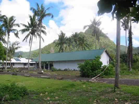
American Samoa is located in the middle of the South Pacific, about midway between Hawaii and New Zealand. It is characterized by year-round warmth and humidity, lush green mountains, and the strong Samoan culture. The observatory is situated on the eastern most point of Tutuila Island at Cape Matatula.
Observations
In 2005 an aerosol lidar was installed at the NWS facility at Pago Pago Airport. The lidar is operated by observatory personnel. The new building is designated for lidar operations and for the ozonesonde preparation. The lidar was built and tested at Mauna Loa Observatory in Hawaii, and was due to be installed in 2004 but delayed by damage to the baseline observatory from Cyclone Heta in January of 2004. Including the SMO lidar, there are now active monitoring lidars at 40°N (THD), 19°N (MLO), 14°S (SMO), and 45°S (Lauder, New Zealand) that bracket the important tropical region.
Lead Investigator(s):
Dr. John E.
Barnes
808-933-6965 (x222)
Dave Hoffman
303-497-6966
Date Started:
2005
Related Programs:
Mauna Loa (HI) Lidar
Boulder (CO) Lidar
Trinidad Head (CA) Lidar
Camera Lidar
General Lidar Info
Lidar Specifications
Station Alt: 77 m
Latitude: 14.232 S
Longitude: 170.563 W
Time Zone: GMT-11
Laser Type: Nd:YAG
Frequency: Weekly
Acq Board: AMCS-USB
# Channels: 4
(nm) used: 532, 1064
Photographs:
