American Samoa Observatory, Trip to Tula
The following photos are sites in route from the government
housing in Tafuna to the Observatory in Tula. The 23 mile drive at 25 mph covers
the island diversity, from the businesses of Nu’uuli to the villages on
the east side of Tutuila, from the government buildings to the flower pot rocks.
Enjoy the scenery!
|
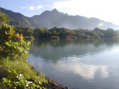
23 miles from the observatory. Just off the government housing road onto route 016 is Lyons Park. This green space has picnic grounds, a basketball court, and tennis courts. Pictured here is Matafou peak over Pala Lagoon from Lyons Park. Matafou is tallest mountain on island at 2,142 ft. |
.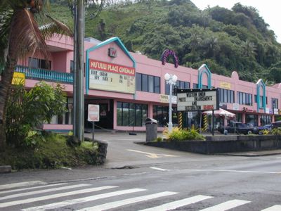 |
22.4 miles from the observatory, on route 001, is the Nu’uuli Shopping center with the only theatre in town. |
.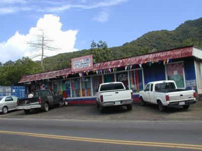 |
21.9 miles to the observatory is Tutuila General Mercantile. One of the many small stores locally owned around the island. |
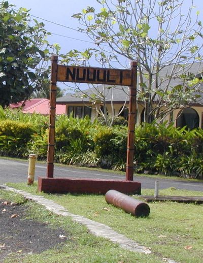 |
21.1 miles from the observatory is the village sign for Nu’uuli. You will find signs like this throughout the island distinguishing the different villages. |
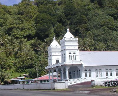 |
19.7 miles to the observatory is church for the village of Matuu. |
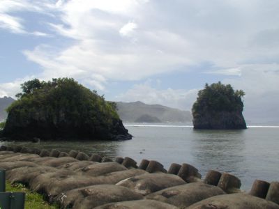 |
At 19.1 miles from the observatory you’ll find the flower pot rocks. The Samoan name for these rocks are Futi rock, to the left, and Fatu rock, to the right. In the foreground are concrete breakwater placements installed during recent road construction. |
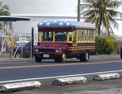 |
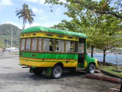
One of the colorful aiga buses found around the island. Aiga means family, and the buses are generally family owned. In the background is the tank farm/water treatment facility at mile 17.4 from the observatory. |
 |
Lunch break near the tank farm/water treatment facility and overlooking Pago Pago Harbor. |
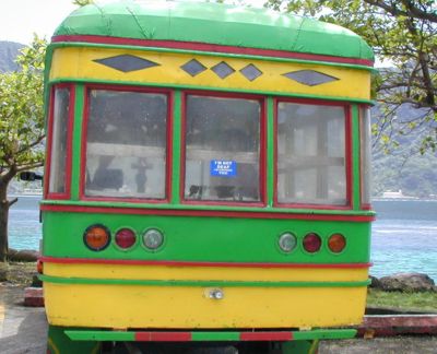 |
Enlarge and read the sticker on the back window. |
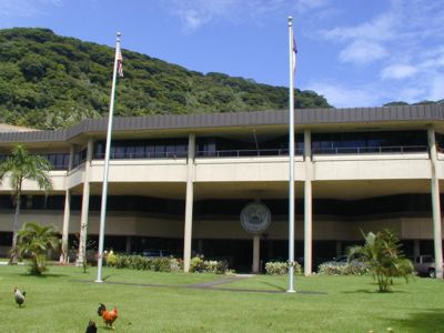 |
Governmental Offices at mile 17.1. The offices are 0.1 miles off the main road. |
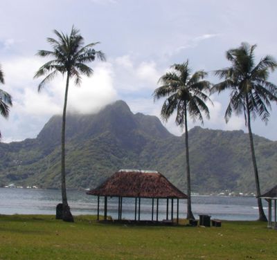 |
A fale (Samoan word for an open house) in Utulei park. Beyond the fale is Pago Pago Harbor and Rainmaker mountain partially covered by clouds. Mile 17.0 from the observatory. |
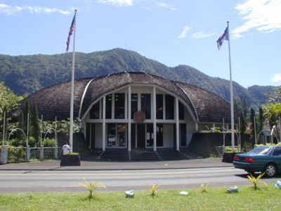 |
The Legislature building at mile 16.3. American Samoa is an unincorporated and unorganized territory of the US. The ‘unorganized’ classification means the territory has it’s own constitution but under US Federal Government supervision. The Fono, or legislative branch, operates in a similar fashion to our state legislatures, with a Senate and House of Representatives. |
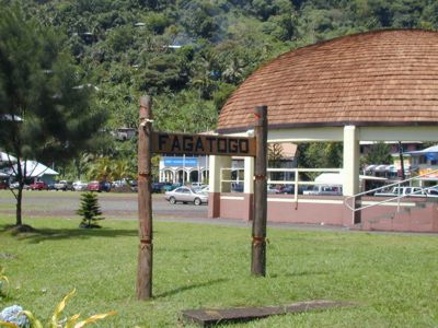 |
Fagatogo, one of the main shopping areas of the island, also at mile 16.3. The building directly behind the sign is a stage used for celebrations and competitions. The US Post office is located nearby along with the High Court, the Fono, the public market and bus terminal. |
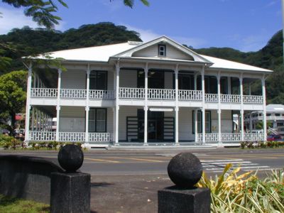 |
The High Court of American Samoa in Fagatogo at mile 16.2 from the observatory. |
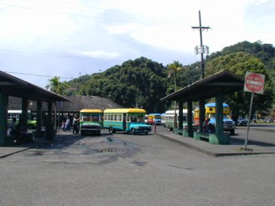 |
The main bus depot and public market area. Buses from the east and west ends of the island generally travel to this location. Routes and times are driver dependent. The market area contains produce and handmade wares for sale, located directly behind the bus staging area in covered booths. Hours of market operation vary depending on the season. We are now at mile 16.1. |
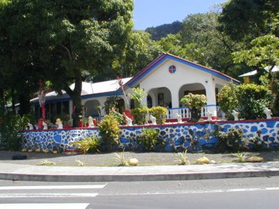 |
Mile 15.2, Pago Pago. The road bends around Pago Pago Harbor here. |
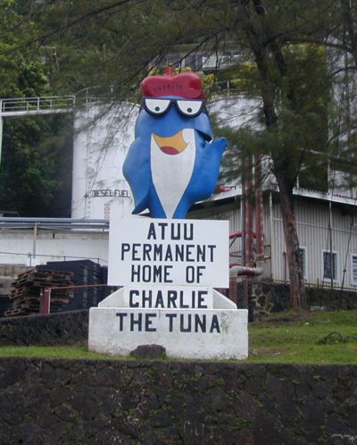 |
Star-Kist’s Charlie the Tuna at mile 14.1 in the village of Atu’u. Star-Kist and Chicken of the Sea have cannery operations generally 24 hours a day and potentially 7 days a week depending upon fish supply. The buildings cover 0.25 miles along the roadway. The tuna operations are the largest industry of American Samoa. |
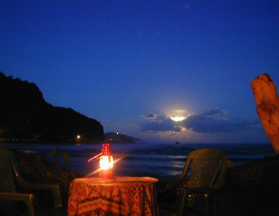 |
At mile 9.1 from the observatory is Tisa’s Barefoot Bar in Alega village. In the distance is Tifa Point and Faalogologotala Rock with a full moon rising. Over halfway! |
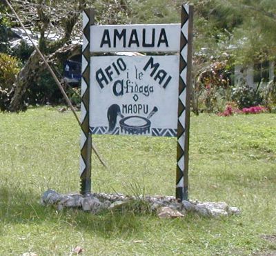 |
Amaua village at mile 7.6. We are near the farthest easterly gas station on island. |
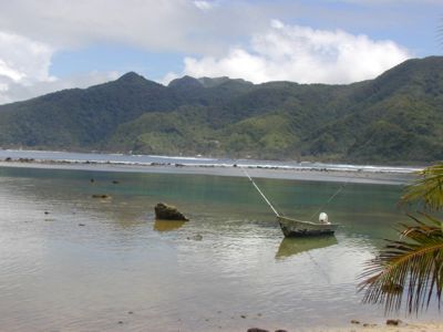 |
Fagaitua bay. |
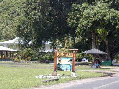 |
At mile 5.8 is Alofau village with a wide open green space. Most villages have some open space where evening cricket, soccer or rugby games are frequently played. |
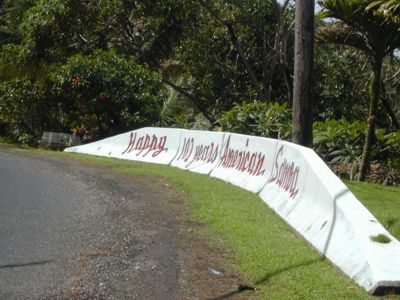 |
Guard rail celebrating American Samoa’s 102 year of existence, painted in 2002. Mile 4.4 from the observatory. |
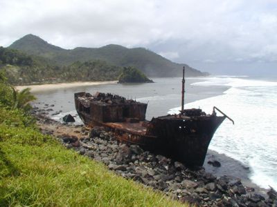 |
Vessel tossed ashore prior to the hurricanes in 1990 and 1991. 3.9 miles to the observatory. |
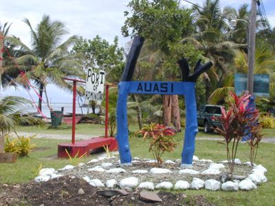 |
The village with a small boat staging area. Auasi has a breakwall surrounding their boats (small catamaran motor boats) which provide the transportation for the island of Aunu’u, an island of 3 square kilometers and home to roughly 500 Samoans. We are 2.4 miles from the observatory. |
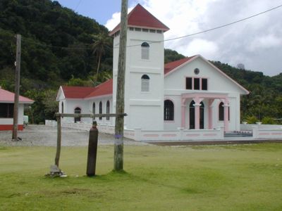 |
Utumea village church and Sa bell, just left of the church in the foreground. The Sa bell is sounded after 6 pm, prior to sunset, and indicates a time of prayer lasting 10 – 15 minutes. Sa means ‘sacred’ in Samoan and each village rings out their Sa time individually. 2.1 miles remaining. |
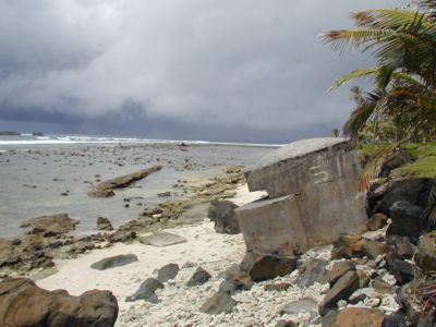 |
One of the many Pill Boxes left from WWII along the beach. The concrete is still solid though many have tumbled from their original placement due to beach erosion. |
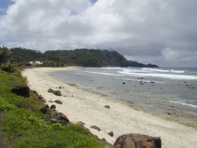 |
Cape Matatula, home of the GMD Observatory. The point is the location of various sample collections significant to the observatory. Upon the ridge is the observatory and the Hudson building. The village of Tula is to the left, visible by the white roofs. |
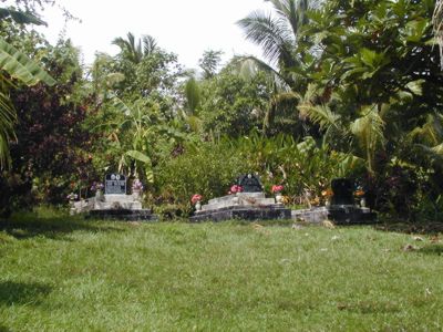 |
At 0.5 miles to the observatory we have turned off route 001, just past Tula village, onto a single lane asphalt paved road. This road winds up the ridge to the observatory. The graves pictured here are the Iuli family ancestors. The grave site is located 0.3 miles from the observatory. |
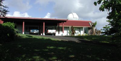 |
You have arrived. |
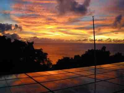 |
Sunset at the observatory. Photo taken from the roof looking over the solar panels. |

