SURFRAD Network: Sioux Falls, SD
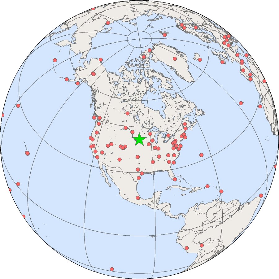
The Sioux Falls station is located on the grounds of the EROS Data Center, outside Sioux Falls, South Dakota.
| Sioux Falls, South Dakota | |
|---|---|
| Latitude: | 43.73403 degrees North |
| Longitude: | 96.62328 degrees West |
| Elevation: | 473 meters |
| Time Zone: | Local Time + 6 hours = UTC |
| Installed: | June, 2003 |
| SURFRAD data from the Sioux Falls site. | |
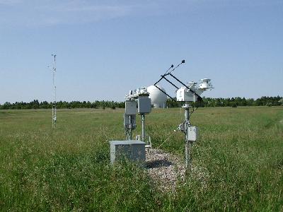
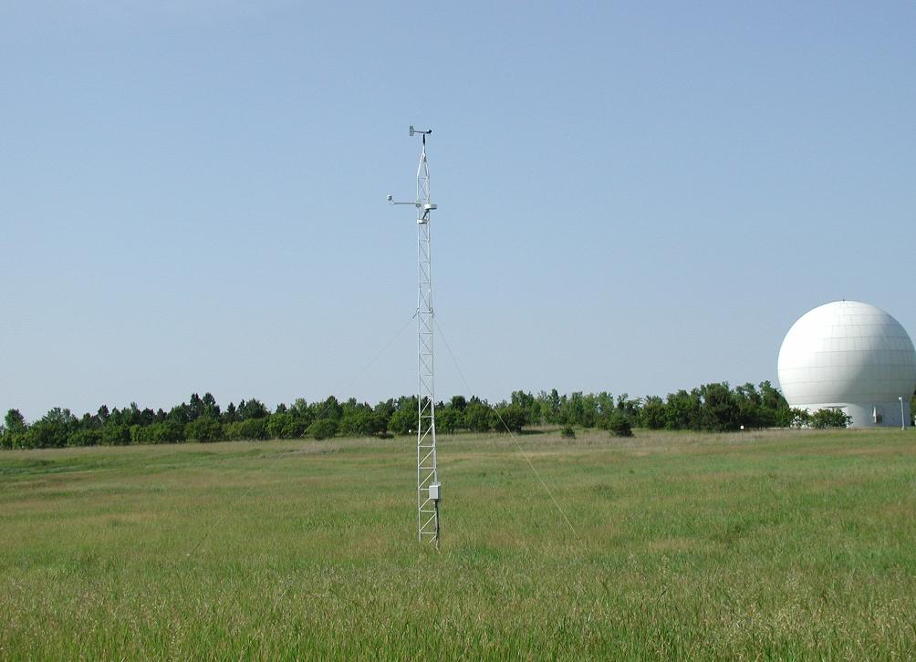
The tower, radiometer platform and solar tracker at Sioux Falls SURFRAD
station, June, 2003. The EROS LandSat receiving antenna dome is visible
in the background.
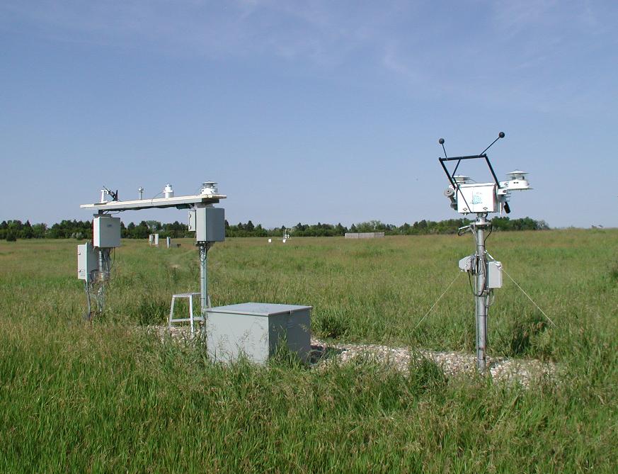
The main platform of the SurfRad station (left) includes, from left to right, a
Multi-Filter Rotating Shadowband Radiometer (MFRSR), a photosynthetically
active radiometer (PAR), a UV-B radiometer, and a pyranometer measuring
global downwelling irradiance. The solar tracker (right) holds a Normal
Incidence Pyrheliometer (left side, pointing at the sun), a pyrgeometer
(left top), and a
pyranometer(right top). Both instruments on top of the tracker are shaded
from direct sunlight by the shading mechanism of the tracker.
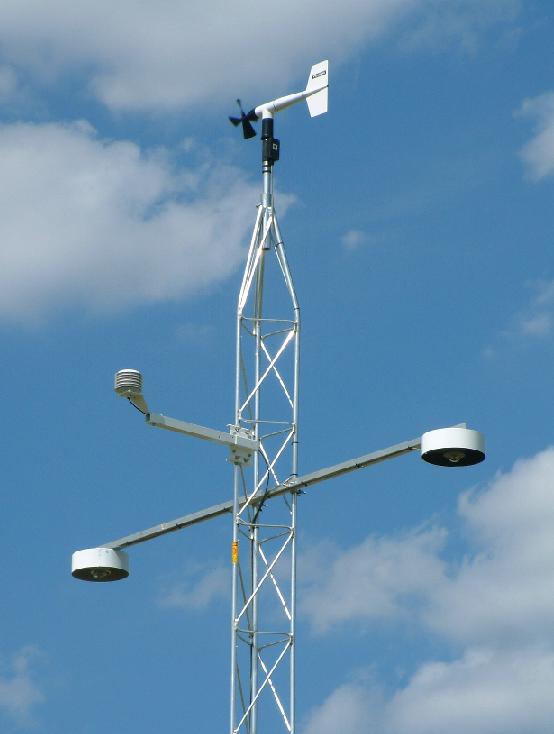
The instruments on the 10-meter tower include, clockwise from far left,
a pyrgeometer measuring upwelling IR, an air temperature and relative
humidity sensor, a wind speed and direction monitor, and a pyranometer
measuring upwelling visible irradiance.

