SURFRAD Network: Goodwin Creek, MS
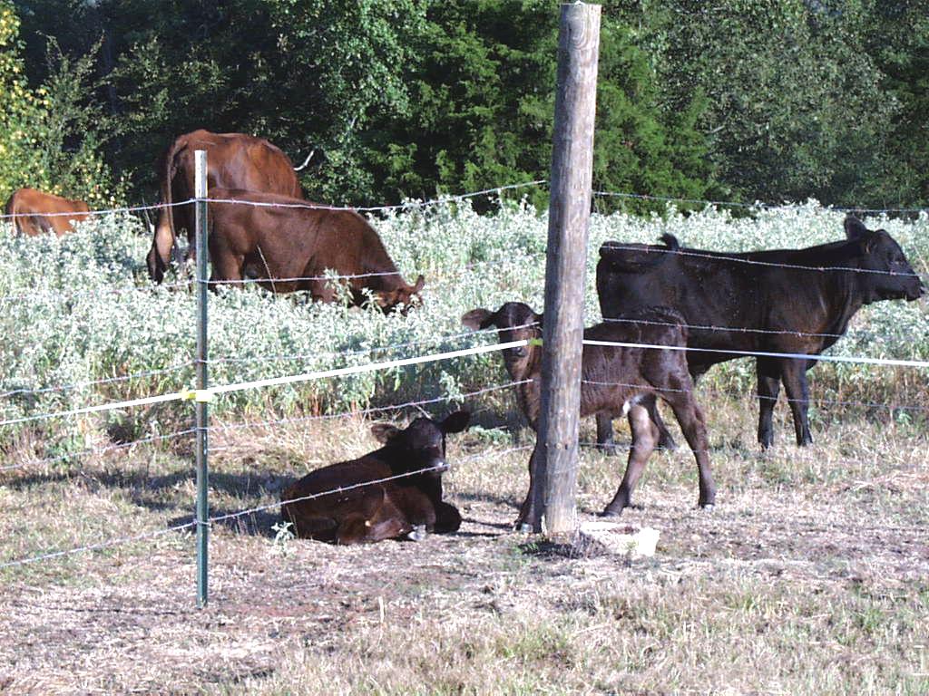
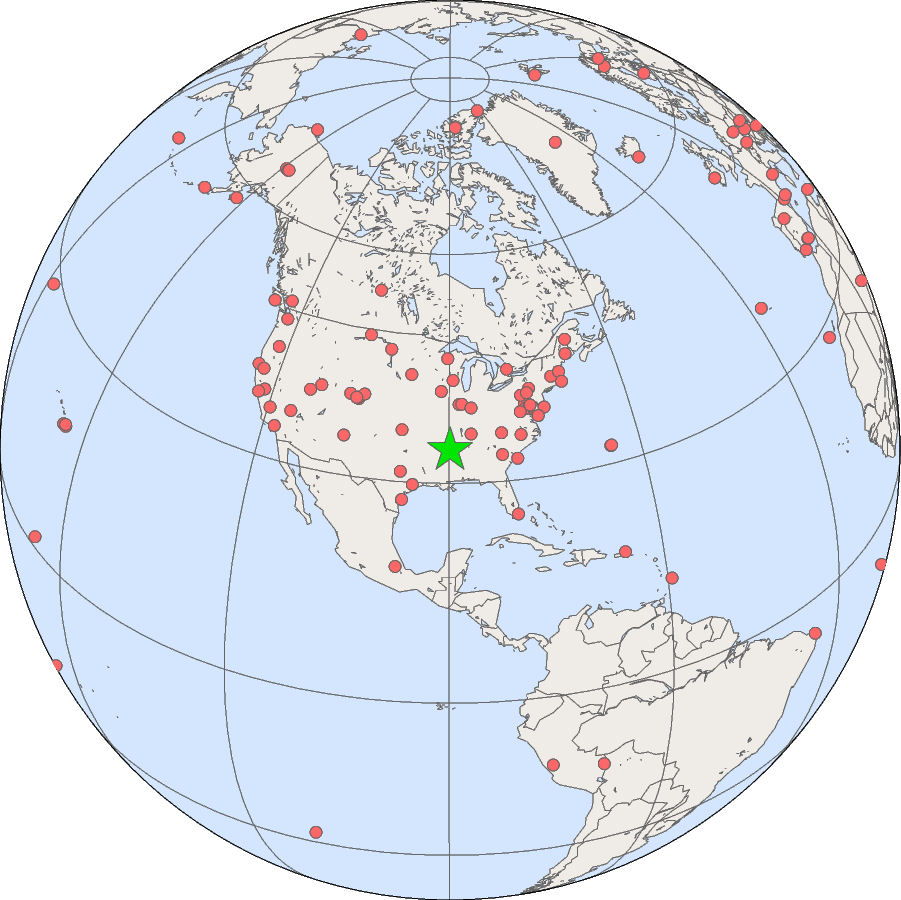
The Goodwin Creek SURFRAD station is located on rural pasture land about twenty miles west of Oxford, Mississippi.
| Goodwin Creek, Mississippi | |
|---|---|
| Latitude: | 34.2547 degrees North |
| Longitude: | 89.8729 degrees West |
| Elevation: | 98 meters |
| Time Zone: | Local Time + 6 hours = UTC |
| Installed: | December 1994 |
| SURFRAD data from the Goodwin Creek site. | |
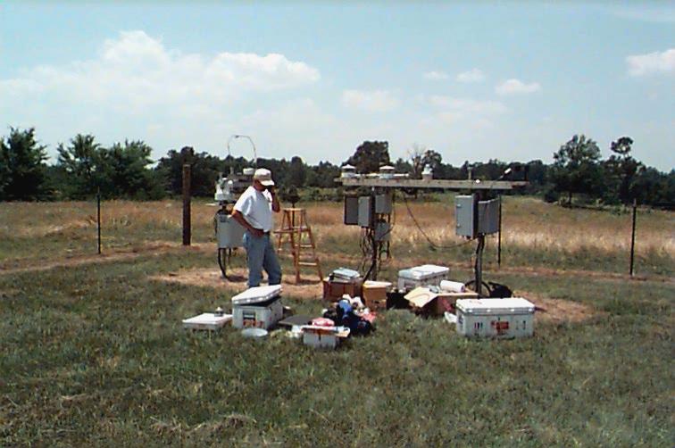
The SURFRAD station at the Goodwin Creek watershed, outside of Batesville,
Mississippi. The site is surrounded by a barbed wire fence with gate access.
From left to right, you can see the SURFRAD solar tracker, main instrument platform,
and instrument tower, followed by a radio tower, control shed and flux system maintained
by the site operators, and finally the Total Sky Imager at the far right.
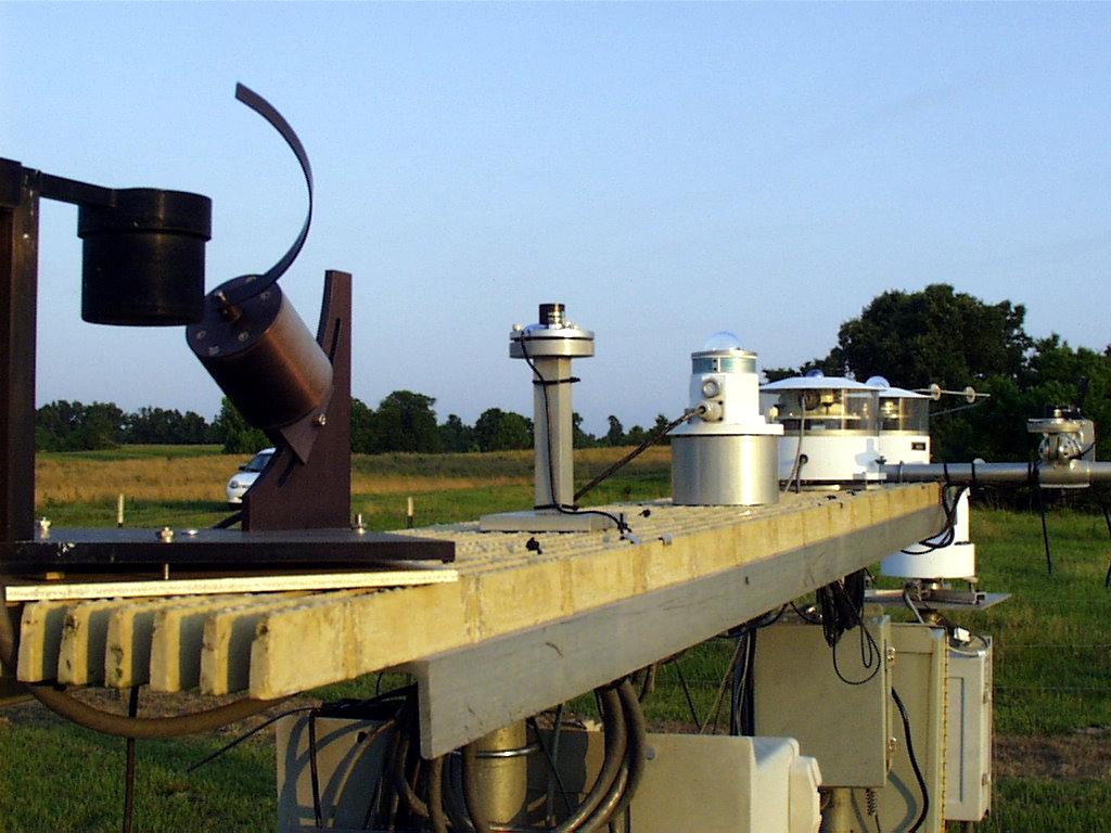
The downwelling instruments on the main platform at Goodwin Creek.
Shown, from left to right, are: Yankee Environmental Systems (YES)
MFRSR, LI-COR Photosynthetically Active Radiometer (PAR), Yankee UVB-1
Ultraviolet Pyranometer, ventilated Eppley pyrgeometer, and
ventilated Spectrosun pyranometer.
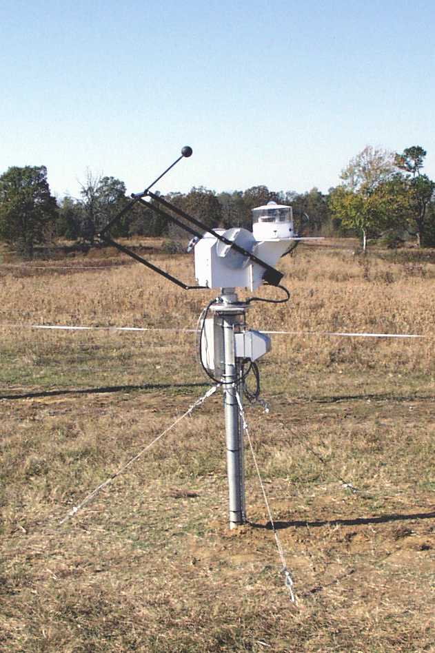
The SURFRAD instruments on the new SCI-TEC solar tracker, just
south of the instrument platform. On top of the tracker is a ventilated
and shaded Spectrosun pyranometer measuring diffuse solar irradiance.
Mounted on the far side of the tracker is an Eppley Normal Incidence Pyranometer.
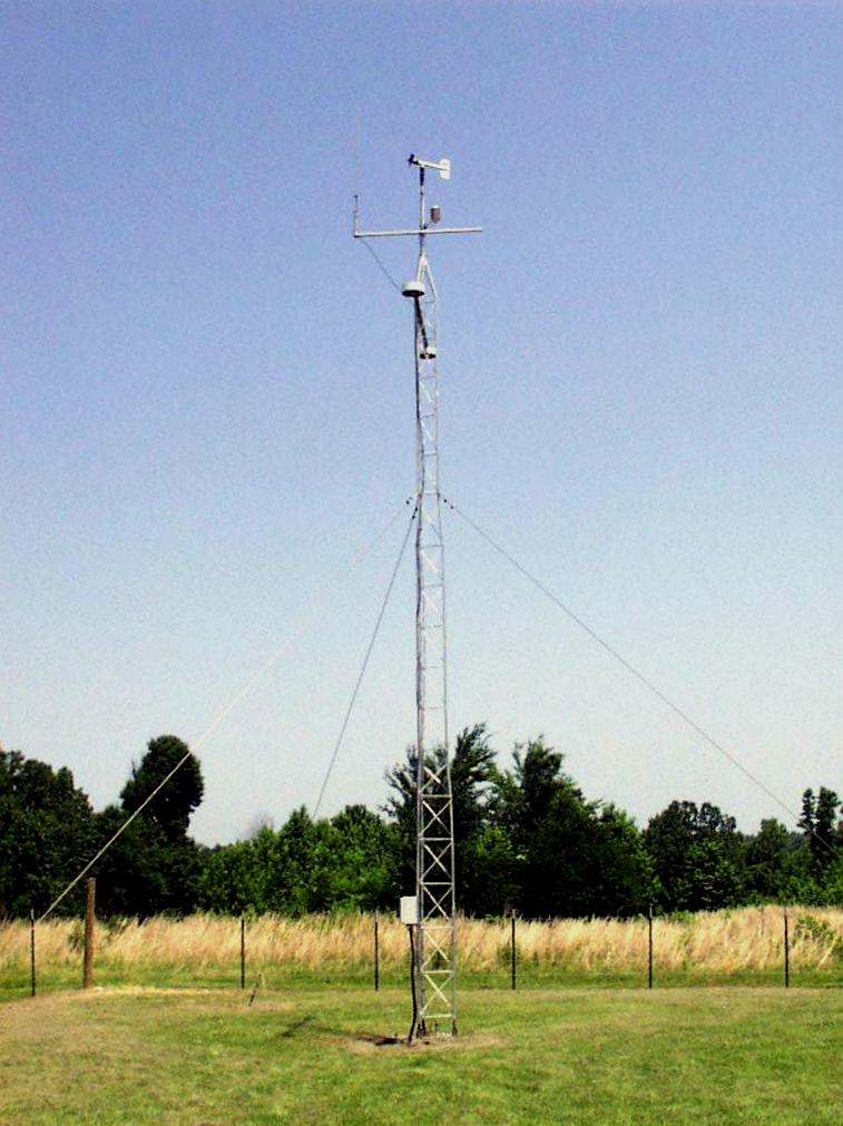
The SURFRAD ten-meter tower, located approximately 30 m north of the main
instrument platform. The tower contains an RM Young wind monitor, a Vaisala
temperature and relative humidity sensor, and an Eppley pyrgeometer
and a Spectrosun pyranometer for measuring upwelling iinfrared and solar
radiation, respectively.
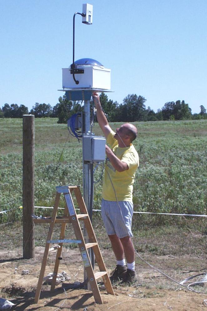
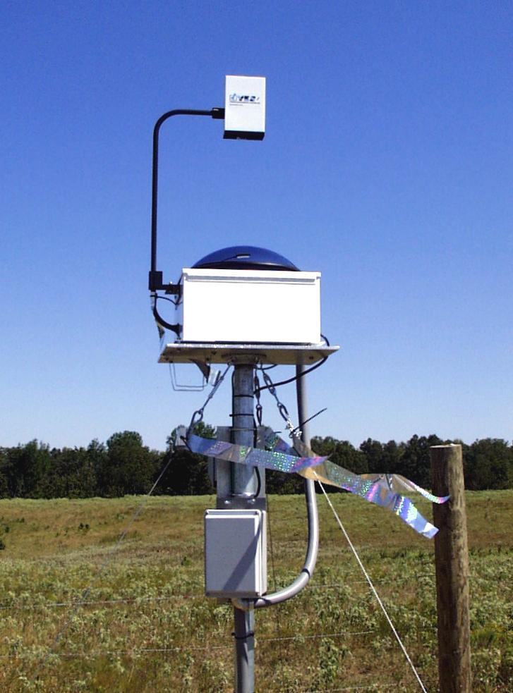
The Yankee Environmental Systems Total Sky Imager (TSI), installed at Goodwin
Creek in September 1999. The unit had to be mounted on a platform high
enough to avoid interference from the fence posts. Guy wires stabilize the
platform, and hologram ribbon underneath the TSI keeps birds away.


